|
REFINE
Browse All : Clason's Industrial Map of Wyoming of 3
1-4 of 4
Title
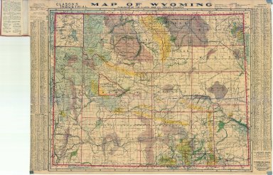
Clason's Industrial Map of Wyoming
Date
1908
Description
Clason's Industrial Map of WY includes townships, ranges, counties, cities, rivers, creeks, coal fields, wagon roads, irrigated lands, city & town index, mineral deposits national forests, 1 copy
Category - Type
Map-State
Title
Clason's Industrial Map of Wyoming
Date
1911
Description
Clason's Industrial Map of WY includes townships, ranges, counties, cities, rivers, creeks, coal fields, wagon roads, irrigated lands, city & town index, mineral deposits national forests, 3 copies (1 negative copy)
Category - Type
Map-State
Title
Clason's Industrial Map of Wyoming
Date
1914
Description
Clason's Industrial Map of WY by Classon Map Co. copyrighted 1911 includes mineral resources, agricultural land, townships, ranges, railroads, roads, trails, national forests, US Land districts, index for mountains, peaks, rivers, creeks, cities, towns
Category - Type
Map-State
Title
Clason's Industrial Map of Wyoming
Date
1913 Circa
Description
Clason's Industrial Map of WY by Classon Map Co. copyrighted 1911 includes mineral resources, agricultural land, townships, ranges, railroads, roads, trails, national forests, US Land districts, index for mountains, rivers, creeks, cities, towns
Category - Type
Map-State
1-4 of 4
|


