|
REFINE
Browse All : Map-Site of 2
1-5 of 5
Title
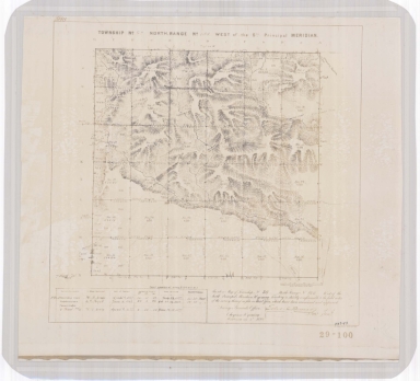
South Pass City Field Notes
Date
1882
Description
South Pass City Field Notes published by JAJ Leary, John C Probst-Deputy Surveyor, includes Township 29, Range 100, 4 sheets paper (undersized)
Category - Type
Map-Site
Title
Cheyenne Experiment Farm Map
Date
1907
Description
Cheyenne Experiment Farm Map, by US Dept of Agriculture, Office of Experiment Stations, includes, types of crops, locations of wells, evaporation tanks, reservoir, roads, railroad, 1 set with 1 sheet blueprint
Category - Type
Map-Site
Title
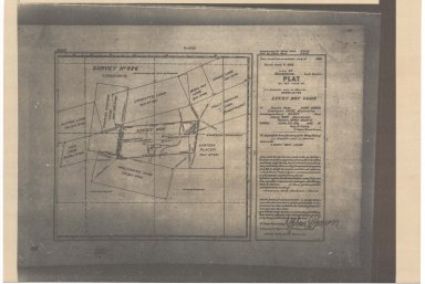
South Pass Mining District Plat of LL Giessler & JJ Morrin Claim, known as the Lucky Boy Lode
Date
1910
Description
South Pass Mining District Plat of LL Giessler & JJ Morrin Claim, known as the Lucky Boy Lode includes location & names of lodes, rivers, city buildings, 1 sheet paper
Category - Type
Map-Site
Title
Wyoming State Soldiers & Sailors Home/Veterans Home REA Station Proposed Location Map
Date
1948
Description
WY State Soldiers & Sailors Home/Veterans Home REA Station Proposed Location Map by Clyde ReVood, 1 set with 1 sheet blueline paper
Category - Type
Map-Site
Title
South Pass Mining District Field Notes of Charles Van Sickle & EH Fourt Mining Claim, known as Mahomet Group
Date
1898
Description
South Pass Mining District Field Notes of Charles Van Sickle & EH Fourt Mining Claim, known as Mahomet Group, consisting of the Alpine, Ben Hur, Wolverine, Charles Dickens & J.C.S Lodes in Township 29, Range 100, Section 20 by Newton H Brown, US Deputy Mineral Supervisor, 6 sheets paper (undersized)
Category - Type
Map-Site
1-5 of 5
|


