|
REFINE
Browse All : Still Image and Historical of Wyoming and 1
1-3 of 3
Title
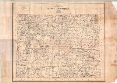
Wyoming Map
Date
1900
Description
WY Map by US Dept of Interior, General Land Office includes surveyor general's office, US Land offices, townships, ranges, Water Divisions & Districts, Indian reservations, military reservations, forest reserves, 1 linen backed paper copy
Category - Type
Map-State
Title
Bridger National Forest Map
Date
1966
Description
Bridger National Forest Map by US Department of Agriculture, Forest Service includes townships, ranges, cities, towns, rivers, creeks, railroad, highways, roads, ranger stations, mines, campgrounds, picnic areas, landmarks, cabins, buildings, power lines, trails, 2 oversized colored copies
Category - Type
Map-Forest/Bridger
Title
Bridger National Forest Bridger Division Final Inventory Map
Date
1977
Description
Bridger National Forest Bridger Division Final Inventory Map by US Dept of Agriculture, Forest Service, Edward Cliff with RARE II markings, State-Federal land transfer program, 1964 rev 1977 includes boundaries, townships, ranges, sections, rivers, creeks, reservoirs, mountains, roads, highways, trails, railroads, telephone lines, ranger stations, buildings, 1 sheet blueline paper
Category - Type
Map-Forest/Bridger
1-3 of 3
|


