|
REFINE
Browse All : Still Image and MCDB_33 from 1903
1-3 of 3
Title
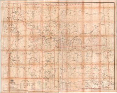
Post Route Map of the States of Montana, Idaho & Wyoming
Date
1903
Description
Post Route Map of the States of Montana, Idaho & WY, by Postmaster General Henry C. Payne, under direction of A. VonHaake, includes East Oregon & Washington, Northeast Utah, West North Dakota, South Dakota & Nebraska, extreme North Colorado, index to counties, designations for: railroads, frequency of mail service, post offices, cities, towns, counties, 1 set colored paper with 2 pages
Category - Type
Map-State
1-3 of 3
|


