|
REFINE
Browse All : Still Image and Map-State and A2/50
1-2 of 2
Title
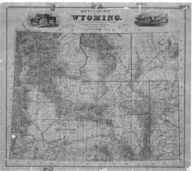
Holts New Map of Wyoming
Date
1890 Circa
Description
Holts New Map of WY (mislabeled 1883) includes cities, towns, rivers, creeks, mountains, railroads, roads, forts, mining districts, 20 mile limit (cannot copy)
Category - Type
Map-State
Title
Holts New Map of Wyoming
Date
1890 Circa
Description
Holts New Map of WY (mislabeled 1883) includes cities, towns, rivers, creeks, mountains, railroads, roads, forts, mining districts, 20 mile limit (cannot copy)
Category - Type
Map-State
1-2 of 2
|

