|
REFINE
Browse All : Still Image and Map-Survey and MCDB_622971692
1-1 of 1
Title
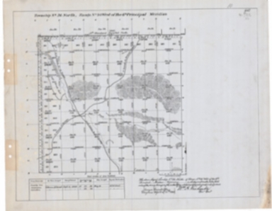
Survey Map Township 33, Range 90, Sections 1 - 36
Date
1893
Description
Survey Map by Wm A. Richards, surveyed by Coleman & Gilcrest, US Surveyor General's Office, printed-A Gast & Co, Township 33, Range 90, Sections 1 - 36, includes topo info, Ervay to Muskrat Road, roads, Clay City Ruins, Sarcophegas Buttes, Willow Creek, Salt Sage Flat, Oil Prospect Holes, Sand Rock Point, creeks, total number of acres, dates of contracts, amount of surveys, magnetic declination, 1 set with 1 sheet negative paper
Category - Type
Map-Survey
1-1 of 1
|
