|
REFINE
Browse All : Still Image from 1901
1-15 of 15
Title
Fort Mackenzie location of proposed reservoirs & connections map
Date
1901
Description
Fort Mackenzie location of proposed reservoirs & connections map
Category - Type
Military-Fort MacKenzie
Title
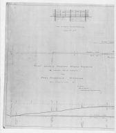
Fort Mackenzie plan showing proposed 6 inch water main-partial
Date
1901
Description
Fort Mackenzie plan showing proposed 6 inch water main-partial, 2 sheets
Category - Type
Military-Fort MacKenzie
Title
Fort Mackenzie plan showing proposed 6 inch water main-partial
Date
1901
Description
Fort Mackenzie plan showing proposed 6 inch water main-partial, 2 sheets
Category - Type
Military-Fort MacKenzie
Title
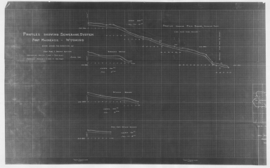
Fort Mackenzie profiles showing sewerage system-partial
Date
1901
Description
Fort Mackenzie profiles showing sewerage system-partial, 2 sheets
Category - Type
Military-Fort MacKenzie
Title
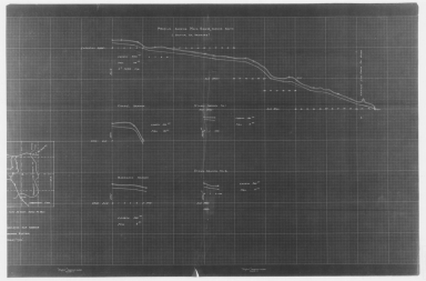
Fort Mackenzie profiles showing sewerage system-partial
Date
1901
Description
Fort Mackenzie profiles showing sewerage system-partial, 2 sheets
Category - Type
Military-Fort MacKenzie
Title
Fort Mackenzie profiles showing sewerage system-partial
Date
1901
Description
Fort Mackenzie profiles showing sewerage system-partial, 2 sheets
Category - Type
Military-Fort MacKenzie
Title
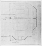
Fort Mackenzie proposed storage reservoir plan-partial
Date
1901
Description
Fort Mackenzie proposed storage reservoir plan-partial, 2 sheets
Category - Type
Military-Fort MacKenzie
Title
Fort Mackenzie proposed storage reservoir plan-partial
Date
1901
Description
Fort Mackenzie proposed storage reservoir plan-partial, 2 sheets
Category - Type
Military-Fort MacKenzie
Title
Fort Mackenzie topo map-partial
Date
1901
Description
Fort Mackenzie topo map-partial, 2 sheets
Category - Type
Military-Fort MacKenzie
Title
Fort Mackenzie topo map-partial
Date
1901
Description
Fort Mackenzie topo map-partial, 2 sheets
Category - Type
Military-Fort MacKenzie
Title
Platte County District Court civil case 7-184, exhibit B, DR 13, Map of WY Development Co Reservoir II
Date
1901
Description
Platte County District Court civil case 7-184, exhibit B, DR 13, Map of WY Development Co Reservoir II, by Frank Bond includes Township 21 - Township 22, Range 73 - Range 74, river, slough, ridge, road, dam, lakes, divide, topo info, acreage, 53-4-27, I set with 1 sheet blueline paper
Category - Type
Court Exhibits
Title
Statistical Charts from atlas by Cram
Date
1901
Description
1901 Statistical charts p 290-291 Crams Unrivaled Family Atlas of the World Indexed, C-1409, digital only
Category - Type
Misc
Title
Statistical Charts from atlas by Cram
Date
1901
Description
1901 Statistical charts p 288-289 Crams Unrivaled Family Atlas of the World Indexed, C-1409, digital only
Category - Type
Misc
Title
Wyoming Info page from atlas by Cram
Date
1901
Description
1901 Wyoming Info page 389 Crams Unrivaled Family Atlas of the World Indexed, C-1409, digital only
Category - Type
Misc
1-15 of 15
|

