|
REFINE
Browse All : Still Image of CD and Wyoming from Undated
1-11 of 11
Title
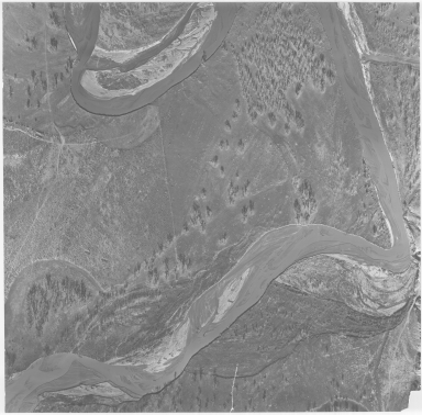
Aerial Photo of Military Site, possibly Fort Reno
Date
Undated
Description
Aerial Photo of Military Site, possibly Fort Reno
Category - Type
Military-Fort Reno
Title
Casper city map and environs
Date
Undated
Description
Casper city map and environs, includes public buildings, points of interest, recreational areas & facilities, school index, advertisers index, North Platte River, railroad lines, small map of State with-counties, highways, cities, geographic locations, State lines, Wardwell Extension & Bar Nunn, Airport Extension. Double sided.
Category - Type
Map-City/Casper
Title
Cool It Big Wyoming poster
Date
Undated
Description
Cool It Big Wyoming-colored poster with late fall snow scene, geyser, antlered bull elk, snow, forest
Category - Type
Poster-Advertisement
Title
Encounter Big Wyoming, Devils Tower National Monument poster
Date
Undated
Description
Encounter Big Wyoming, Devils Tower National Monument poster, includes summer scene, weathered building & Devils Tower
Category - Type
Poster-Advertisement
Title
Green River Street Map & Tour Guide
Date
Undated
Description
Green River Street Map & Tour Guide, includes historic sites & points of interest, Flaming Gorge map, recreation site info, roads, state line, recreation activity photos, loop tours, street names & locations, Green River, municipal wards, government building locations, parks, State & Interstate Highways
Category - Type
Map-City/Green River
Title
Sweetwater County Map
Date
Undated
Description
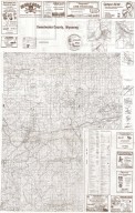
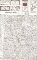
Sweetwater County Map. Advertisers, includes roads & roadway features, structures, railroads, drainages, natural features, boundaries, city & town centers, airways, public service & educational facilities, farm units, dwellings, forts, armory, pack or foot trail historic trail with name, coordinate points, triangulation stations, industrial sites, conservation & recreations sites, water bodies, river/stream drainages, 1/2 county map on each side.
Category - Type
Map-County/Sweetwater
Title
Wyoming State Historical Society/Chapters Logos, hand drawn
Date
Undated
Description
Wyoming State Historical Society/Chapters Logos, hand drawn
Category - Type
Poster-Advertisement
1-11 of 11
|


