|
REFINE
Browse All : Images of 1 and RR Map Case 02 Drawer 01 and Albany County
1-4 of 4
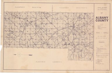
Title
Albany County Map
Date
1937-1946
Description
Albany County Map by State Mineral Supervisor Pierre LaFleiche, drafted by HG Lowman includes oil & gas fields, drainage, township, range, state land, primary & secondary roads WPA Project #6008 1/1937, 1946 Blueline
Category - Type
Map-County/Albany
Title
Albany County Map
Date
1970
Description
Albany County Map by Laramie\Albany County Planning Office includes roads, railroads, ditches, gravel pits, index to landowners, township, range, towns
Category - Type
Map-County/Albany
Title
Albany County Map
Date
1970
Description
Albany County Map by Laramie\Albany County Planning Office includes roads, railroads, ditches, gravel pits, index to landowners, township, range, towns
Category - Type
Map-County/Albany
1-4 of 4
|