|
REFINE
Browse All : Images of Wyoming from 1882
1-11 of 11
Title
Cheyenne Birds Eye View Map
Date
1882
Description
Cheyenne Birds Eye View Map by Beck & Pauli, JJ Stoner includes streets, avenues, buildings, railroads, 4 building images, index to some buildings 5 copies
Category - Type
Map-Birds Eye View/Cheyenne
Title
Cheyenne Birds Eye View Map
Date
1882
Description
Cheyenne Birds Eye View Map by Beck & Pauli, JJ Stoner includes streets, avenues, buildings, railroads, 4 building images, index to some buildings 5 copies
Category - Type
Map-Birds Eye View/Cheyenne
Title
Cheyenne Plat
Date
1882
Description
Cheyenne Plat by William G Provines, Cheyenne City Engineer includes lots, blocks, streets, railroad, lake, building indicators, creek, business advertisements, blueline
Category - Type
Map-City/Cheyenne
Title
Fort Washakie Plan of Post-Site Map
Date
1882
Description
Fort Washakie Plan of Post-Site Map, 1 sheet
Category - Type
Military-Fort Washakie
Title
Ranches & Associated Streams plat in Township 19-Township 22, Range 70-Range 74
Date
1882
Description
Plat of Ranches & Associated Streams in Township 19-Township 22, Range 70-Range 74 by Charles Bellamy, 1 set with 1 sheet paper (writing in pencil)
Category - Type
Map-Ranch
Title
South Pass City Field Notes
Date
1882
Description
South Pass City Field Notes published by JAJ Leary, John C Probst-Deputy Surveyor, includes Township 29, Range 100, 4 sheets paper (undersized)
Category - Type
Map-Site
Title
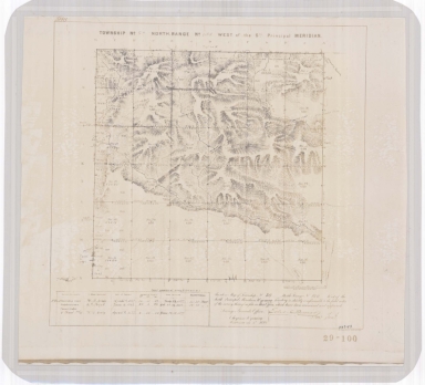
Survey Map Township 45, Range 78, Sections 1 - 36
Date
1882
Description
Survey Map by Edw. C David, surveyed by McCarthy & Moore, Downey & Grant, US Surveyor General's Office, printed-A Gast & Co, Township 45, Range 78, Sections 1 - 36, includes topo info, Brown & Halleck's Ranch, Old Fort Reno Road, telegraph line, roads, Powder River, creeks, total number of acres, dates of contracts, amount of surveys, magnetic declination, No. 1128, 1 set with 1 sheet negative paper
Category - Type
Military-Fort Reno
Title
Tie Siding Map
Date
1882
Description
Tie Siding Map includes buildings, right of way, Blueline
Category - Type
Map-City/Tie Siding
Title
Wahsatch Iron & Coal Company Plat of Located Line
Date
1882
Description
Wahsatch Iron & Coal Company Plat of Located Line from Station East of Twin Creek Summit on the Line of the Utah & Wyoming Railroad South to Township 19, Range 117, Section 11 by HH Latham, 2 sets with 1 sheet vellum
Category - Type
Map-Railroad
Folder or Collection Name
Forts & Camps - Fort Fetterman #2 of 3
Image Title
DOUBLE OFFICER'S QUARTERS - FORT FETTERMAN
Coverage or Location
Wyoming
Date
1882
1-11 of 11
|


