|
REFINE
Browse All : Images of Wyoming from 1895
1-12 of 12
Title
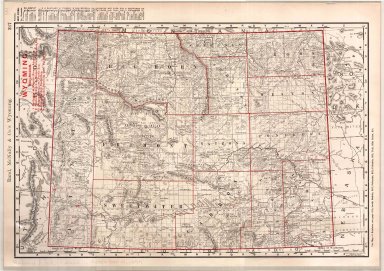
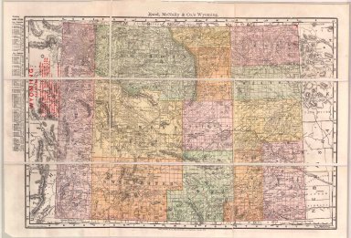
Atlas of the World byRand, McNally & Co, includes Wyoming
Date
1895
Description
Rand, McNally & CO's Indexed Atlas of the World, Map of WY copyrighted 1895 includes town index-on side, the 4 major railroads have are highlighted with red numbers, townships, ranges pages 317, 318 1 color coded sheet paper and 1 copy
Category - Type
Map-State
Title
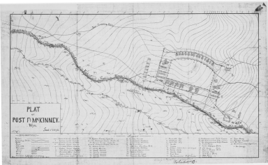
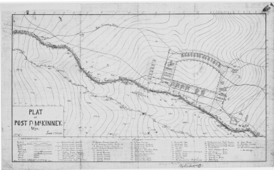
Fort McKinney Plat (Post McKinney)
Date
1895
Description
Fort McKinney Plat (Post McKinney), includes topo info, building locations & designations, 3 copies-positive
Category - Type
Military-Fort McKinney
Title
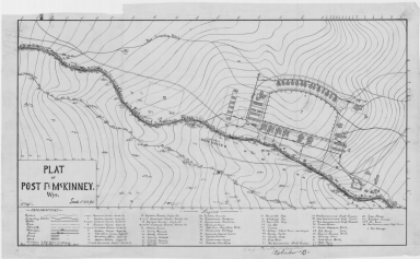
Fort McKinney Plat (Post McKinney)
Date
1895
Description
Fort McKinney Plat (Post McKinney), includes topo info, building locations & designations, 3 copies-positive
Category - Type
Military-Fort McKinney
Title
Fort McKinney Plat (Post McKinney)
Date
1895
Description
Fort McKinney Plat (Post McKinney), includes topo info, building locations & designations, 3 copies-positive
Category - Type
Military-Fort McKinney
Title
Platte County District Court civil case 7-184, exhibit B, DR 12, Map of WY Development Co Reservoir II
Date
1895
Description
Platte County District Court civil case 7-184, exhibit B, DR 12, Map of WY Development Co Reservoir II, by Clarence Johnston includes Township 21 - Township 22, Range 73 - Range 74, river, slough, ridge, road, dam, lakes, divide, topo info, I set with 1 sheet blueline paper
Category - Type
Court Exhibits
Title
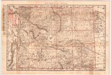
Wyoming Map
Date
1895
Description
WY Map by Rand McNally
Category - Type
Map-State
Title
Cody, William F (and others)-Quarry & Timber Claims in Township 50, Range 103
Date
1895
Description
Cody, William F (and others)-Quarry & Timber Claims in Township 50, Range 103, WY State Engineer General Subject Map, may include forests, trails, railroads, geology, improvements & industry, 1 set with 1 sheet paper
Category - Type
Map-Mineral
Title
Laramie County Clerk Road Plat 67, Fort Laramie to Uva Road
Date
1895
Description
Laramie County Clerk Road Plat 67, Fort Laramie to Uva Road by WD Pease-Laramie County Surveyor, includes township 25, ranges 65-67, 1 set with 1 sheet vellum
Category - Type
Map-Trail or Road
Folder or Collection Name
Legislators - House of Representatives #2 of 2
Image Title
GROUP PHOTO OF THE HOUSE OF REPRESENTATIVES THIRD LEGISLATURE STATE OF WYOMING
Coverage or Location
Wyoming
Date
1895
Folder or Collection Name
Legislators - Senate #1 of 3
Image Title
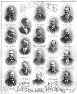
THIRD LEGISLATURE STATE OF WYOMING - SENATE, COMPOSITE
Coverage or Location
Wyoming
Date
1895
1-12 of 12
|
