|
REFINE
Browse All : Images by LC Bishop
1-20 of 20
Title
Fort Bridger Map
Date
1958
Description
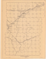
Fort Bridger Map by LC Bishop, includes Township 13-26, Ranges 111-120. Emigrant Road, 2 copies
Category - Type
Military-Fort Bridger
Title
Parting of the Ways Map
Date
1958
Description
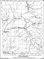
Parting of the Ways Map by LC Bishop, includes townships, ranges, rivers, creeks, roads, trails, pony express stations, stage stations, graves, 2 copies
Category - Type
Map-Trail or Road
Title
SA Bishop & HW Kellogg Map, of ranch owned & operated by
Date
1958
Description
Map of ranch owned & operated by SA Bishop & HW Kellogg, 1890 by LC Bishop includes building locations
Category - Type
Map-Ranch
Title
Fetterman fight and Wagon Box fight Sketch Map
Date
1959
Description
Fetterman fight and Wagon Box fight Sketch Map by LC Bishop, US Geological Survey, includes roads, creeks, trails, fort, historic sites, drawing of steel spear point, 7 copies
Category - Type
Military-Fort Fetterman
Title
Fetterman fight and Wagon Box fight Sketch Map
Date
1959
Description
Fetterman fight and Wagon Box fight Sketch Map by LC Bishop, US Geological Survey, includes roads, creeks, trails, fort, historic sites, drawing of steel spear point, 7 copies
Category - Type
Military-Fort Fetterman
Title
Fort Caspar, Independence Rock & South Pass Map
Date
1959
Description
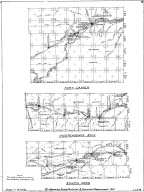
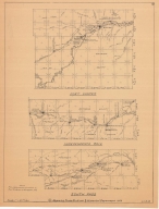
02 Fort Casper, Independence Rock & South Pass Map by LC Bishop, includes townships, ranges, rivers, creeks, roads, trails, pony express stations, graves, 2 paper copies
Category - Type
Military-Fort Caspar
Title
Fort Caspar, Independence Rock & South Pass Map
Date
1959
Description
02 Fort Casper, Independence Rock & South Pass Map by LC Bishop, includes townships, ranges, rivers, creeks, roads, trails, pony express stations, graves, 1 sheet vellum, 2 paper copies
Category - Type
Military-Fort Caspar
Title
Fort Laramie & Fort Fetterman Map
Date
1959
Description
01 Fort Laramie & Fort Fetterman Map, by LC Bishop, includes townships, ranges, rivers, creeks, roads, trails, pony express stations, graves
Category - Type
Military-Fort Laramie
Title
Parting of the Ways Map
Date
1959
Description
03 Parting of the Ways Map by LC Bishop, includes townships, ranges, rivers, creeks, roads, trails, pony express stations, stage stations, graves, 1 sheet vellum, 4 paper copies
Category - Type
Map-Trail or Road
Title
Fort Bridger Map
Date
1959-1960
Description
04 Fort Bridger Map by LC Bishop, includes townships, ranges, rivers, creeks, roads, trails, pony express stations, graves, 2 paper copies
Category - Type
Military-Fort Bridger
Title
Fort DA Russell Map
Date
1959-1960
Description
06 Fort DA Russell Map, by LC Bishop, includes townships, ranges, rivers, creeks, roads, trails, pony express stations, graves, drawing of Camp Walbach, drawing of Pedestal Rock by Brt Major Williams, 2 paper copies
Category - Type
Military-Fort DA Russell
Title
Fort Halleck Map
Date
1959-1960
Description
08 Fort Halleck Map, by LC Bishop, includes townships, ranges, rivers, creeks, roads, trails, pony express stations, graves, stage stations, abandoned railroad stations, 2 copies-1 sheet vellum, 1 sheet paper
Category - Type
Military-Fort Halleck
Title
Fort Halleck Map
Date
1959-1960
Description
08 Fort Halleck Map, by LC Bishop, includes townships, ranges, rivers, creeks, roads, trails, pony express stations, graves, stage stations, abandoned railroad stations, 1 sheet vellum, 4 paper copies
Category - Type
Military-Fort Halleck
Title
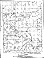
Fort Sanders Map
Date
1959-1960
Description
07 Fort Sanders Map by LC Bishop, includes townships, ranges, rivers, creeks, roads, trails, pony express stations, graves, stage stations, abandoned railroad stations
Category - Type
Military-Fort Sanders
Title
Landers Cut Off, East & West Section Map
Date
1959-1960
Description
05 Landers Cut Off, East & West Section Map by LC Bishop, includes townships, ranges, rivers, creeks, roads, trails, pony express stations, graves, 2 copies
Category - Type
Map-Trail or Road
Title
Landers Cut Off, East & West Section Map
Date
1959-1960
Description
05 Landers Cut Off, East & West Section Map by LC Bishop, includes townships, ranges, rivers, creeks, roads, trails, pony express stations, graves, 1 sheet vellum, 6 paper copies
Category - Type
Map-Trail or Road
Title
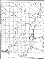
Hat Creek, Cheyenne Deadwood Stage Road Map
Date
1960
Description
10 Hat Creek, Cheyenne Deadwood Stage Road Map by LC Bishop, includes townships, ranges, rivers, creeks, roads, trails, pony express stations, graves, 1 sheet vellum, 15 paper copies
Category - Type
Map-Trail or Road
Title
Jenney Stockade
Date
1960
Description
Jenney Stockade Historical roads and routes by LC Bishop Paper
Category - Type
Map-Trail or Road
Title
Jenney Stockade Map
Date
1960
Description
11 Jenney Stockade Map by LC Bishop, includes townships, ranges, rivers, creeks, roads, trails, pony express stations, graves, 1 sheet vellum, 9 paper copies
Category - Type
Map-Site
Title
Rock Point Overland Trail Map
Date
1960
Description
09 Rock Point Overland Trail Map by LC Bishop, includes townships, ranges, rivers, creeks, roads, trails, pony express stations, graves, stage stations, abandoned railroad stations, 16 copies paper
Category - Type
Map-Trail or Road
1-20 of 20
|

